Translate This Page
- NOTICE - - By using this site and/or downloading any materials from this site, you agree to the following terms. If you do not agree to them, do not use the site or download any materials from it. Materials may be copied, reproduced, modified, published, uploaded, posted, transmitted, or distributed in any way they are result of a mix of mashup codes condensed and simplified. These resources HAVE to remain free. | - No warranties, or guaranties as to the quality, suitability, truth, accurancy or completeness of any of the materials on this website. so it means do this entirely at your own risk. You have sole responsibility for sufficient protection and backup of data and/or equipment usde in connection with this website and will not make a claim against the owner of the site for lost data, re-run time,inaccurate output, work delays or lost profits resulting from the use of the materials. |
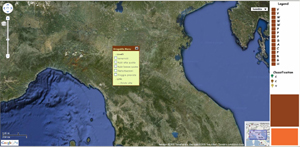
GEOITALIA 2009
A8 - September at 14.45
Bonzi Luciana, Martinelli Giovanni and Sciuto Pier Francesco
A Google mashup for hydrogeochemical data of Emilia-Romagna region”.
DOWNLOAD - (it is referred to samples 3 and 4 down in the page) 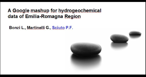
PPT SLIDES (ITALIAN) (zip)
PPT SLIDES (ENGLISH) (zip)
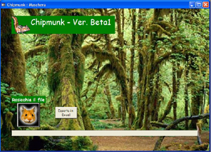
ChipMunk (zip)
Google geologic icons (zip)
CARG colors ( RGB colors index of Italian Geologic Cartography) (56k) (zip)
RGB color index of Morocco Geologic Cartography (648k) Zip
1 version of google mashup (movable map) (9k) (zip)
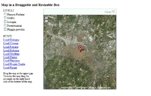
2 version of google mashup (movable menu and legend) (14k) (zip) 
3 version of google mashup (all in one 15 k) (zip)
4 version of google mashup (all in one 16 k) (zip)
5 version of google mashup (all in one 12K)
6 version of google mashup (all in one 5 K) mini version (zip)
7 version of google mashup (all in one 9 k) (zip)
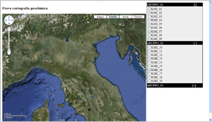
kmz examples
zabargad island topography vector (kmz). Preview http://maps.google.com/maps?q=http://sciuto.yolasite.com/resources/Z_topografia.kmz
zabargad island topography raster (kmz)
zabargad island geology vector (kmz)). Preview http://maps.google.com/maps?q=http://sciuto.yolasite.com/resources/Z_geologia.kmz
Zabargad thin sections photo (kmz). Preview http://maps.google.com/maps?q=http://sciuto.yolasite.com/resources/Z_foto.kmz
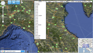
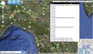
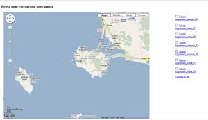
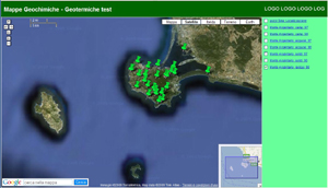
Emilia Romagna Graphs 1 (kmz)). Preview http://maps.google.com/maps?q=http://sciuto.yolasite.com/resources/cruscotto.kmz
Emilia Romagna Graphs 2 (kmz). Preview http://maps.google.com/maps?q=http://sciuto.yolasite.com/resources/torta.kmz
Emilia Romagna Graphs 3 (kmz). Preview http://maps.google.com/maps?q=http://sciuto.yolasite.com/resources/quadrato.kmz